Airfield
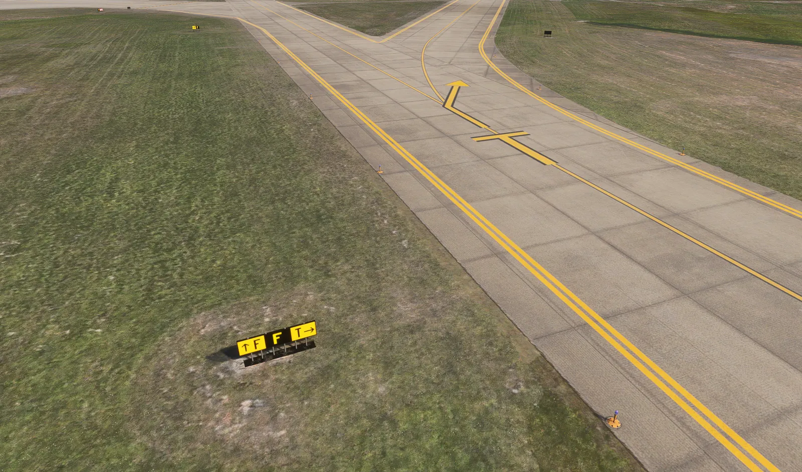
Runways, taxiways, aprons, service roads, hold points and hotspots on the current layout.


Digital twin of the airfield and terminal area with recent layout changes, operations pickup, ARFF fleet and winter equipment.
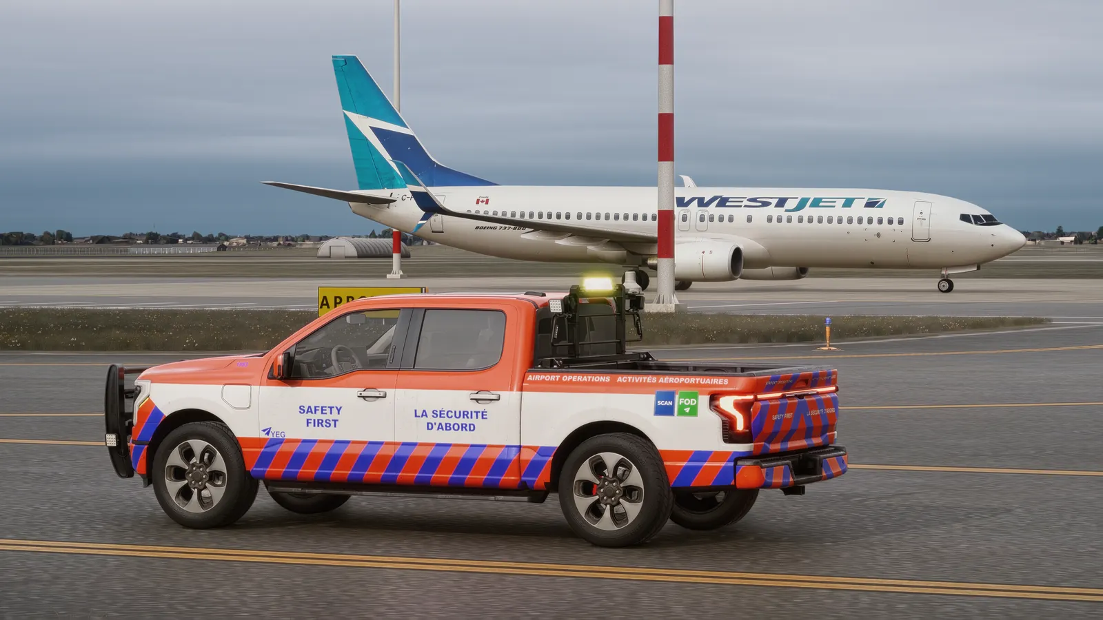
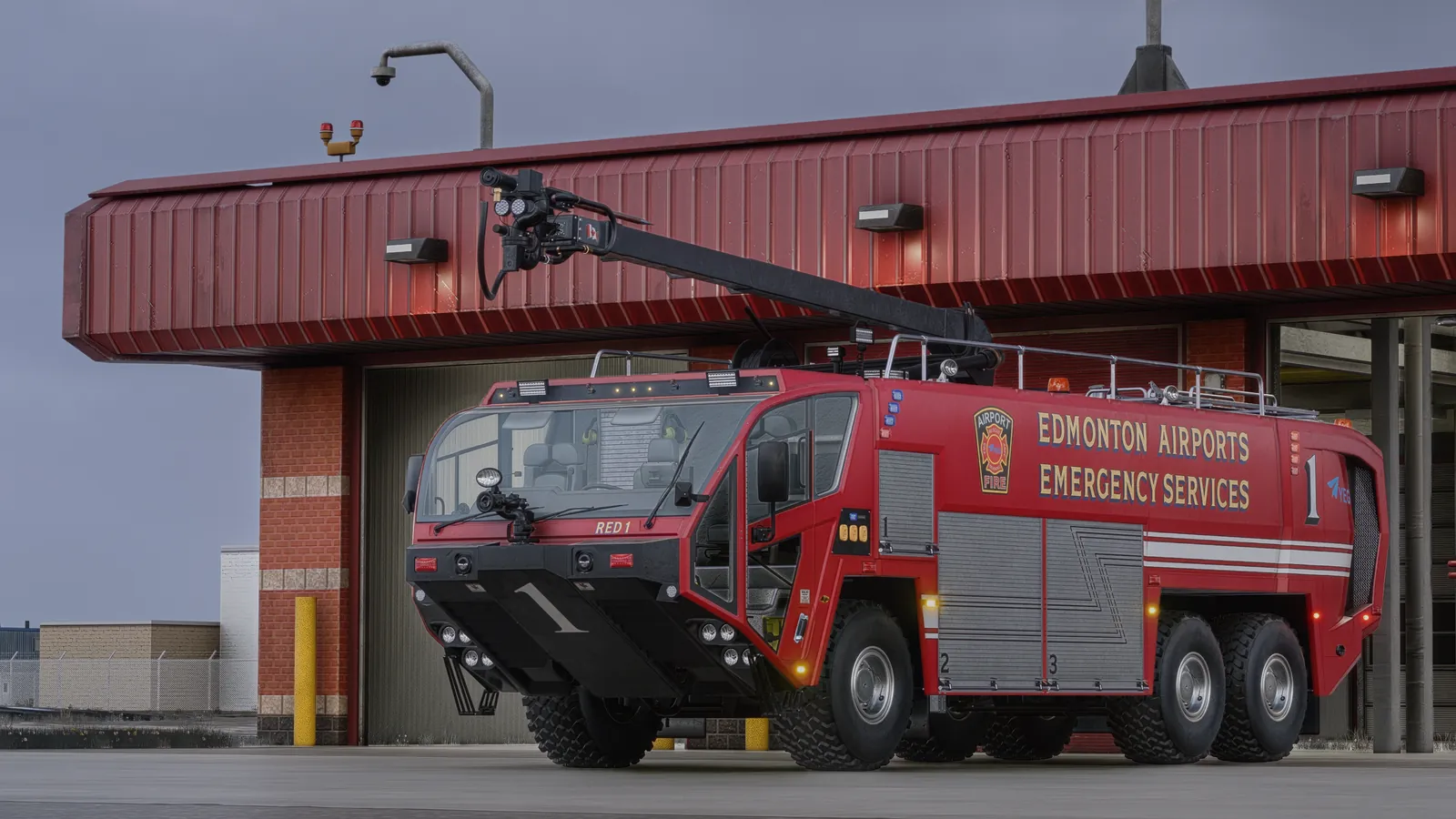
Edmonton is the reference AVOPSIM integration. The digital twin covers the runways, taxiways, aprons, service roads and terminal area of CYEG, including recent changes to the airport layout and markings, with signage, lighting and operational buildings reproduced from operational drawings and survey data. The fleet was modeled to the airport’s own vehicles in its livery, and missions were built around Edmonton’s routes, hold points and hotspots.
Everything below is reproduced from the airport’s operational layout so trainees learn the airfield they will actually drive.
Runways, taxiways, aprons, service roads, hold points and hotspots on the current layout.
Terminal, gates, boarding bridges and apron markings for ground handling missions.
Animated bay doors and response routes for the ARFF program.
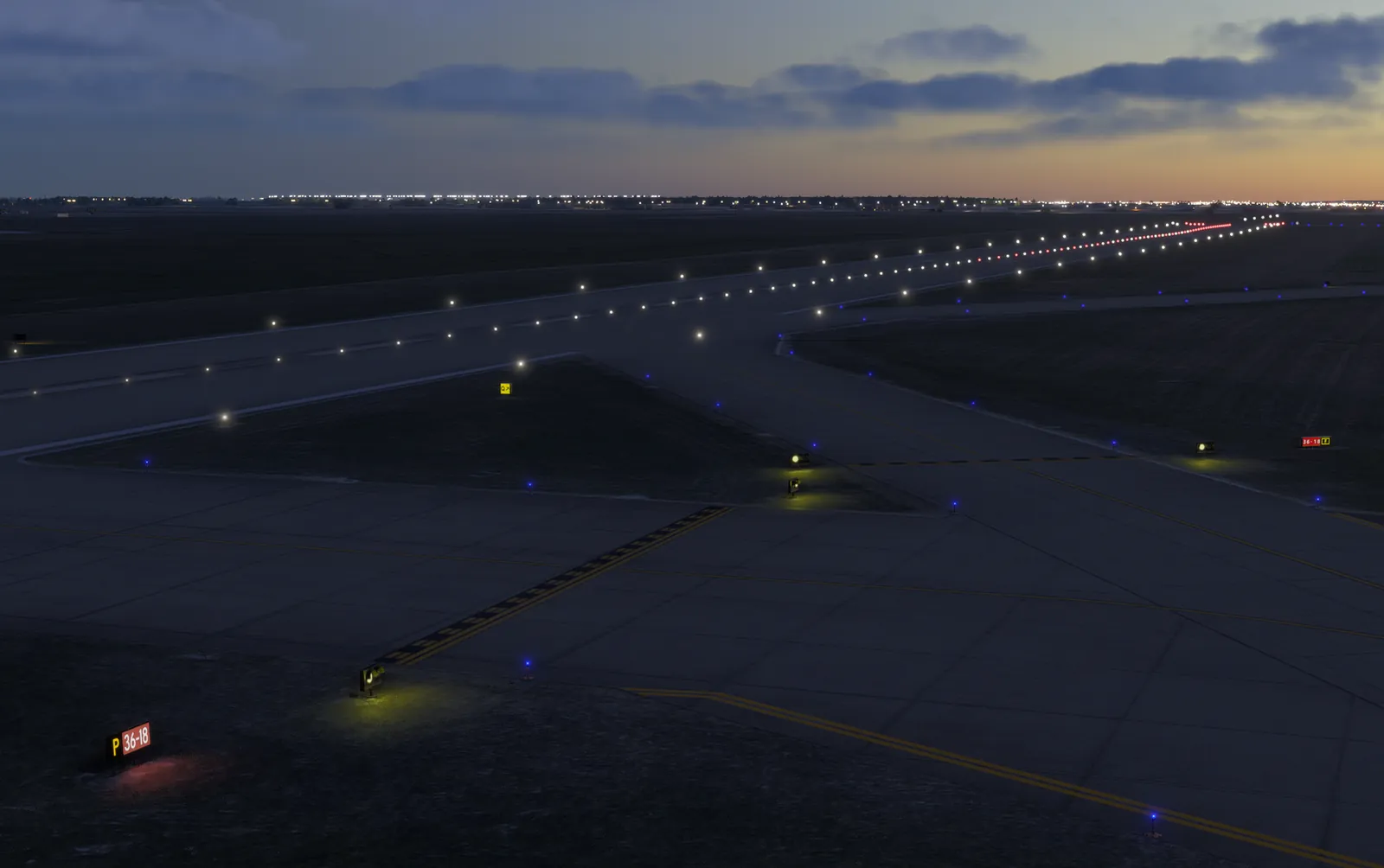
Signs, markings, centerline and edge lights, stop bars and apron lighting for night missions.
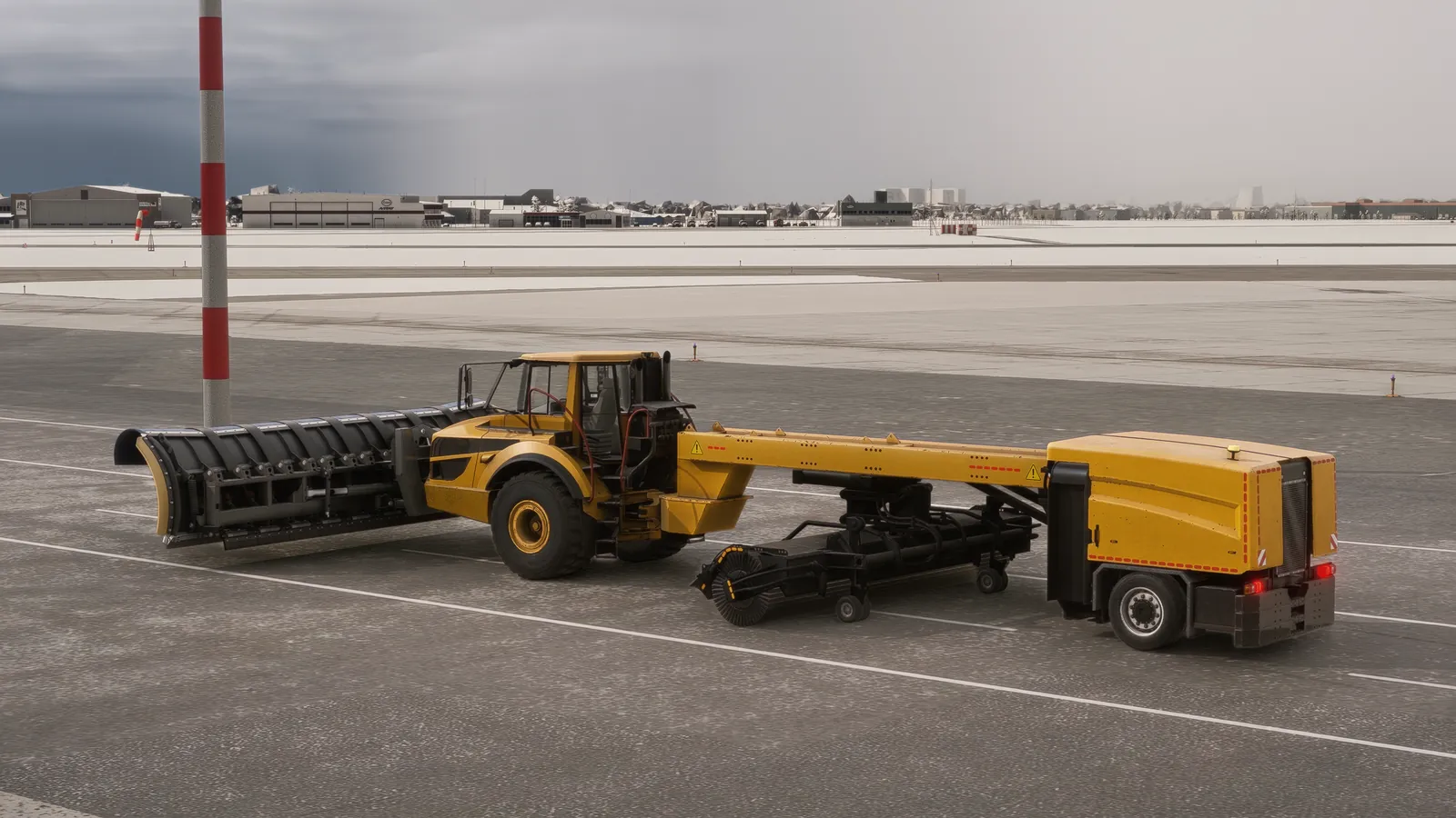
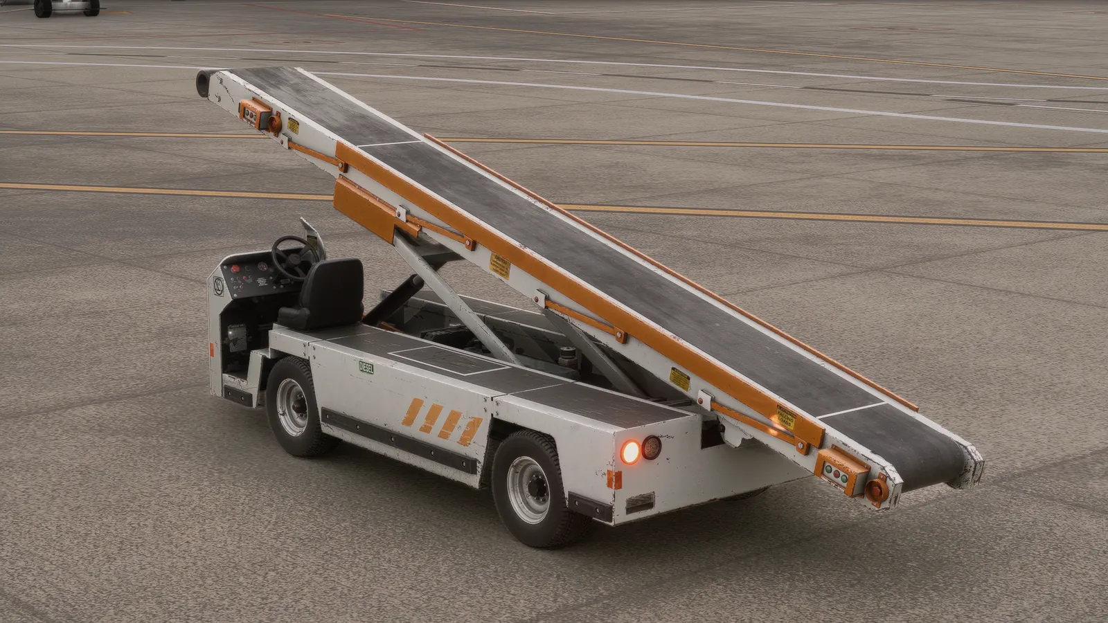
Vehicles modeled per unit with cabin instrumentation and specialist functions.
Winter missions with snow, reduced visibility and contaminated surfaces.
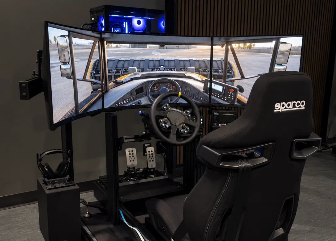
The Edmonton driving station: a dedicated PC, three curved screens, a force-feedback wheel, pedals and shifter on a rigid frame with a racing seat and headset for the radio program. The same configuration is the Tier 2 station offered to every airport.
Write to sales@avopsim.com to see the YEG program in a live session, or send your own airfield layout for a scoped proposal.